Walking direction Reith to Scharnitz
Pfeishütte – Bettelwurfhütte
Stage 4 – Day 4
Pfeishütte – Bettelwurfhütte
IN THE FOOTSTEPS OF THE ‘WILDE BANDE’
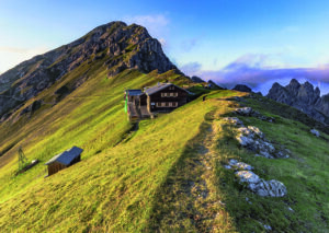
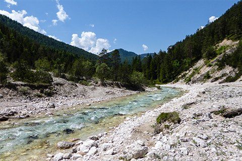
Located in the Pfeis area at the heart of the southern Karwendel mountains is the welcoming Pfeishütte. This is the starting point of the fourth stage on the Karwendel High Alpine Trail, which sees you cross the Stempeljoch and Lafatscher Joch saddles before making your way to the Bettelwurfhütte.
- Starting point: Pfeishütte
- Endpoint: Bettelwurfhütte
- Highest point: 2215 m
- Recommended equipment: ankle-high mountain boots, light crampons or spikes, telescopic poles, plenty of water
- Difficulty: difficult / black mountain trail
Difference in altitude uphill
590 m
Distance
8,9 km
Difference in altitude downhill
390 m
Duration
4:30 h
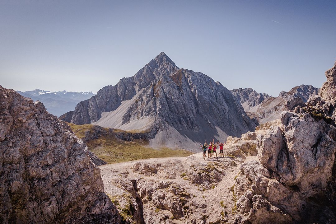
Starting from the Pfeishütte, the fourth stage of the Karwendel High Alpine Trail, you head across the Stempeljoch before reaching the Bettelwurfhütte. On the way, you follow a trail created by the ‘Wilde Bande’ mountaineers’ group that was founded in 1878. This stage takes you through the mountain pines and Alpine pastures of the Pfeis area, rewarding you with breath-taking views over the craggy Karwendel mountains and down into the Halltal valley.
Stage description:
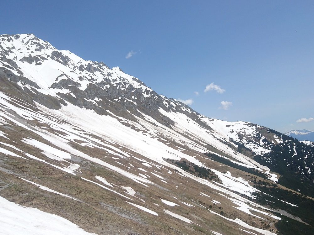
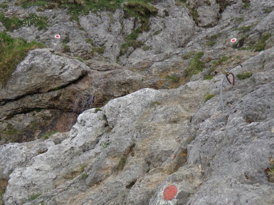
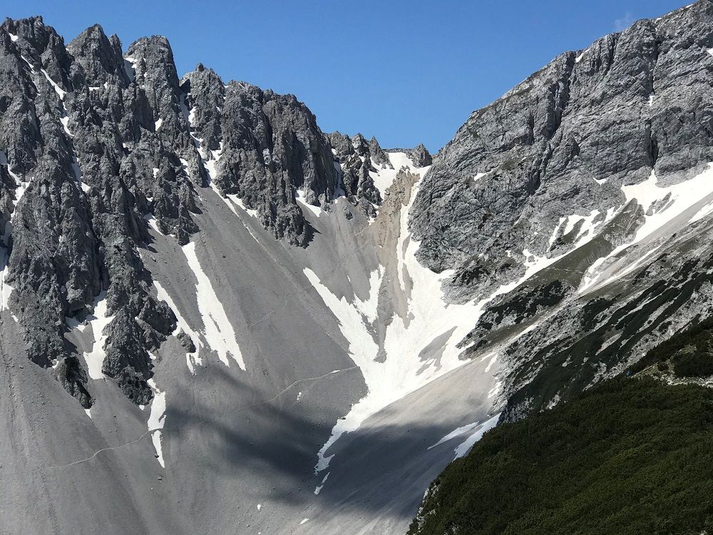
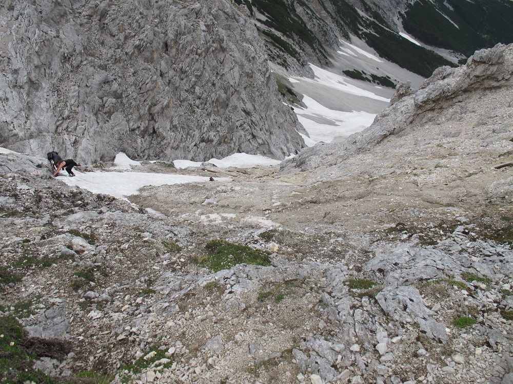
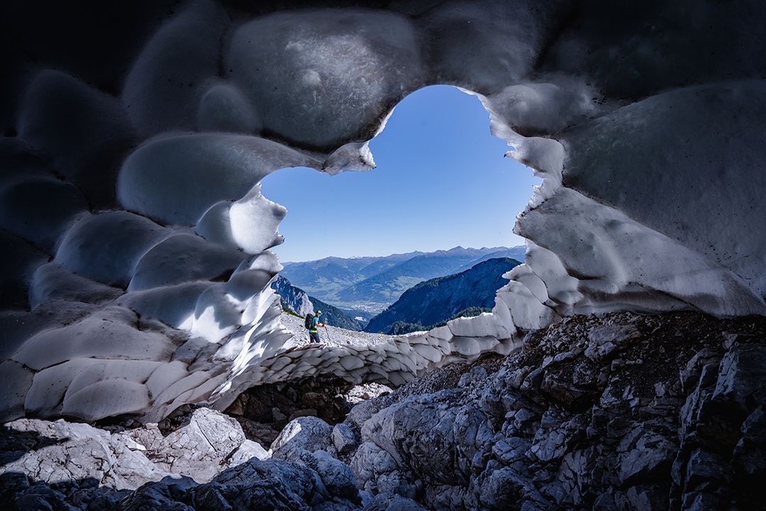
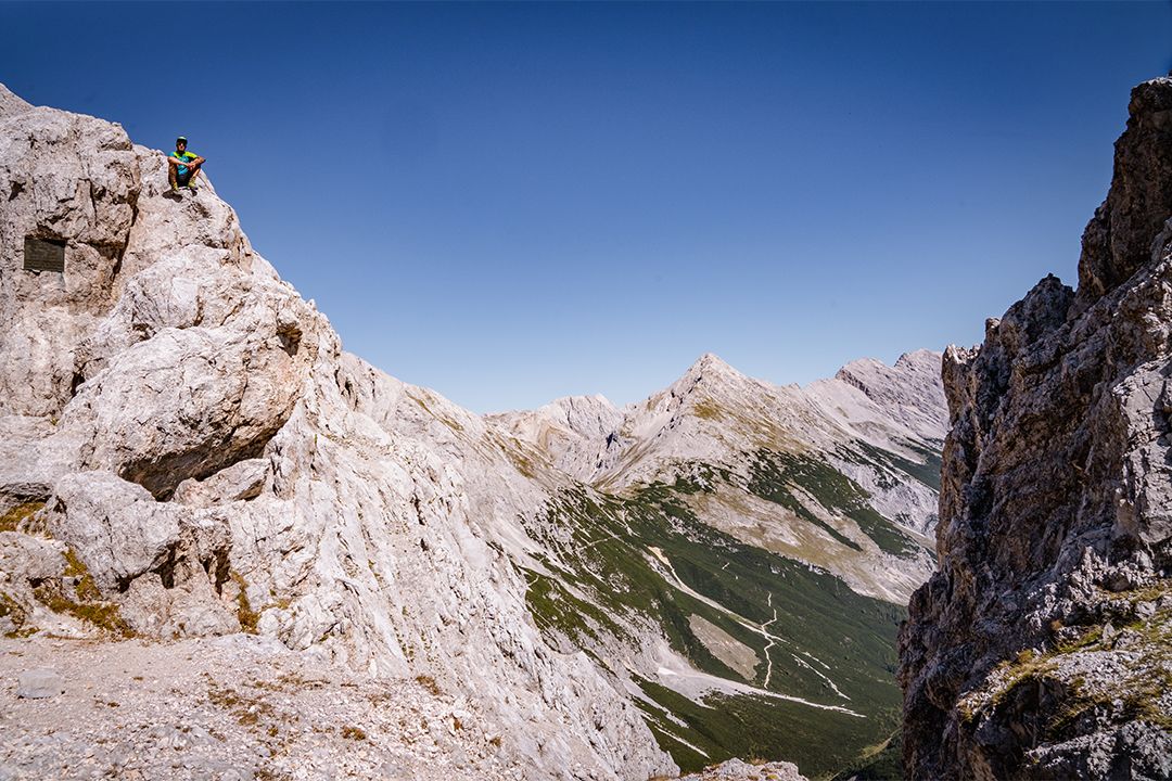
Starting from the Pfeishütte, follow trail 221 (= Via Alpina) eastwards and complete the gentle ascent to the Stempeljoch ridge between the Pfeiser Spitze and the Kleine Stempeljochspitze mountains. Once you have reached the ridge at an elevation of 2215 metres, you must then make a steep descent as the trail leads across a gravel field. CAUTION: in early summer, the Stempelreise gravel field may still feature a very large amount of old snow that is extremely hard and frozen in the mornings (risk of falling: light crampons or spikes and sticks provide optimum protection)! After a descent featuring a difference in elevation of around 140 metres, you turn left on to the Wilde-Bande trail. Fields with old snow are also a common sight at this intersection. The trail begins by leading you below the east and south faces of the Stempeljochspitze, the Roßkopf, the Großer Lafatscher and the Kleiner Lafatscher mountains, with very little variation in elevation as you head towards the Lafatscher Joch. Approaching the Lafatscher Joch (2081 m), you have to complete another ascent with an elevation gain of around 80 metres. As of this point, trail 222 (= Via Alpina) heads east with a gentle incline as it passes through the Kleines Speckkar and Großes Speckkar cirques. The final part of the journey before you reach the Bettelwurfhütte is characterised by panoramic views over the Halltal and Inntal valleys, with the mountain hut sitting atop the south face of the Kleiner Bettelwurf mountain like an eagle’s nest.
Summits along the stage::
If you still have time and stamina, you can take the following peaks on this stage by making a detour:
- Kreuzjöchl (2158 m); ascent: +1 h
- Pfeiserspitz (2347 m); ascent: +1,5 h
- Stempeljochspitze (2529 m); ascent: +2 h
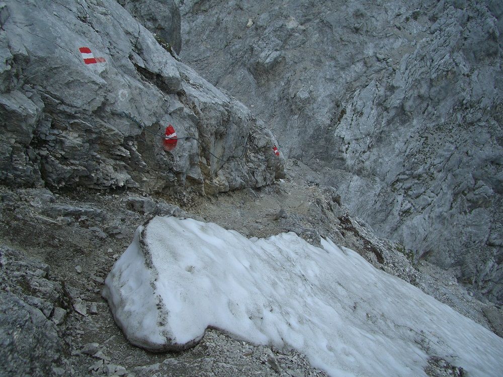
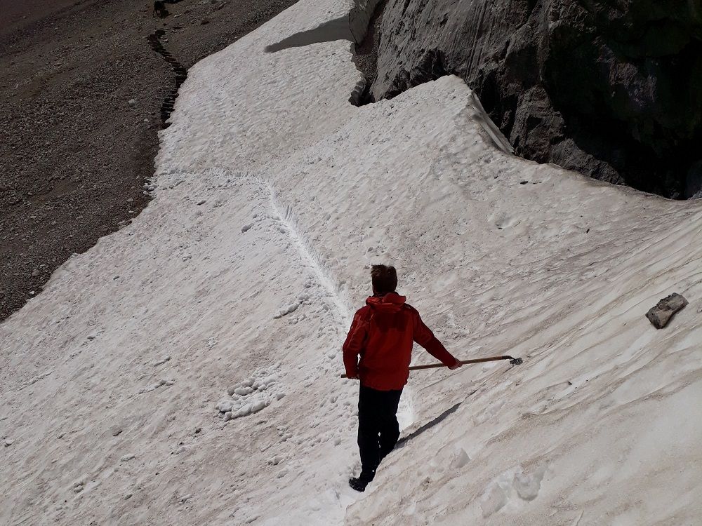
KEY POINTS ON THIS STAGE
To give you a better idea of the difficulty of the route and the demands on the climbers, you can find a picture gallery and a video with images of the key passages. Especially in poor visibility and in the presence of old snow fields it is necessary to maintain the highest concentration here or an ascent may not be possible.

Good to know:
After you have crossed the Stempeljoch, you start on the Wilde Bande trail. This was built in 1929 by the Innsbruck mountaineering society Wilde Bande in close connection with the Salzbergknappen and leads to the Lafatscher Joch. Every year on October 20, the members of the group climb up to the Stempeljoch via Hungerburg and Arzler Scharte to celebrate the anniversary of their founding day in 1878.


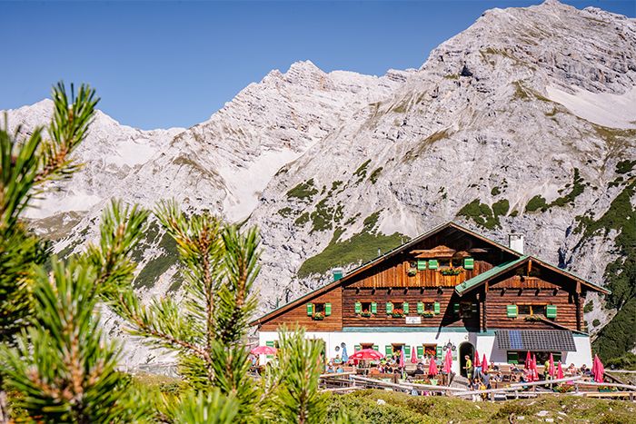
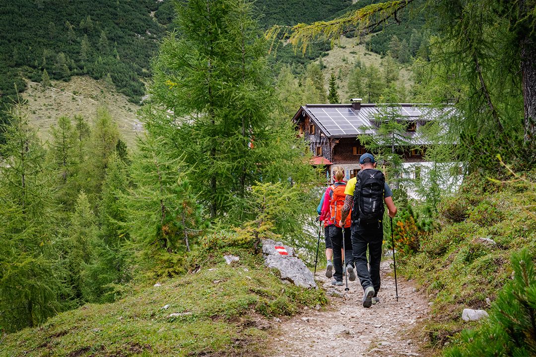
From hut to hut
Huts on this stage
After breakfast at the Pfeishütte, you can reach the Bettelwurfhütte for lunch after around four hours. You can find more information about the huts on the hut profiles.

Look closely!
Plants and animals on this stage
There are typical types of plants and animals to discover on each of the six stages. The more varied the mountain terrain, the more diverse the creatures that live there.

Alpine Toadflax

Northern Raven
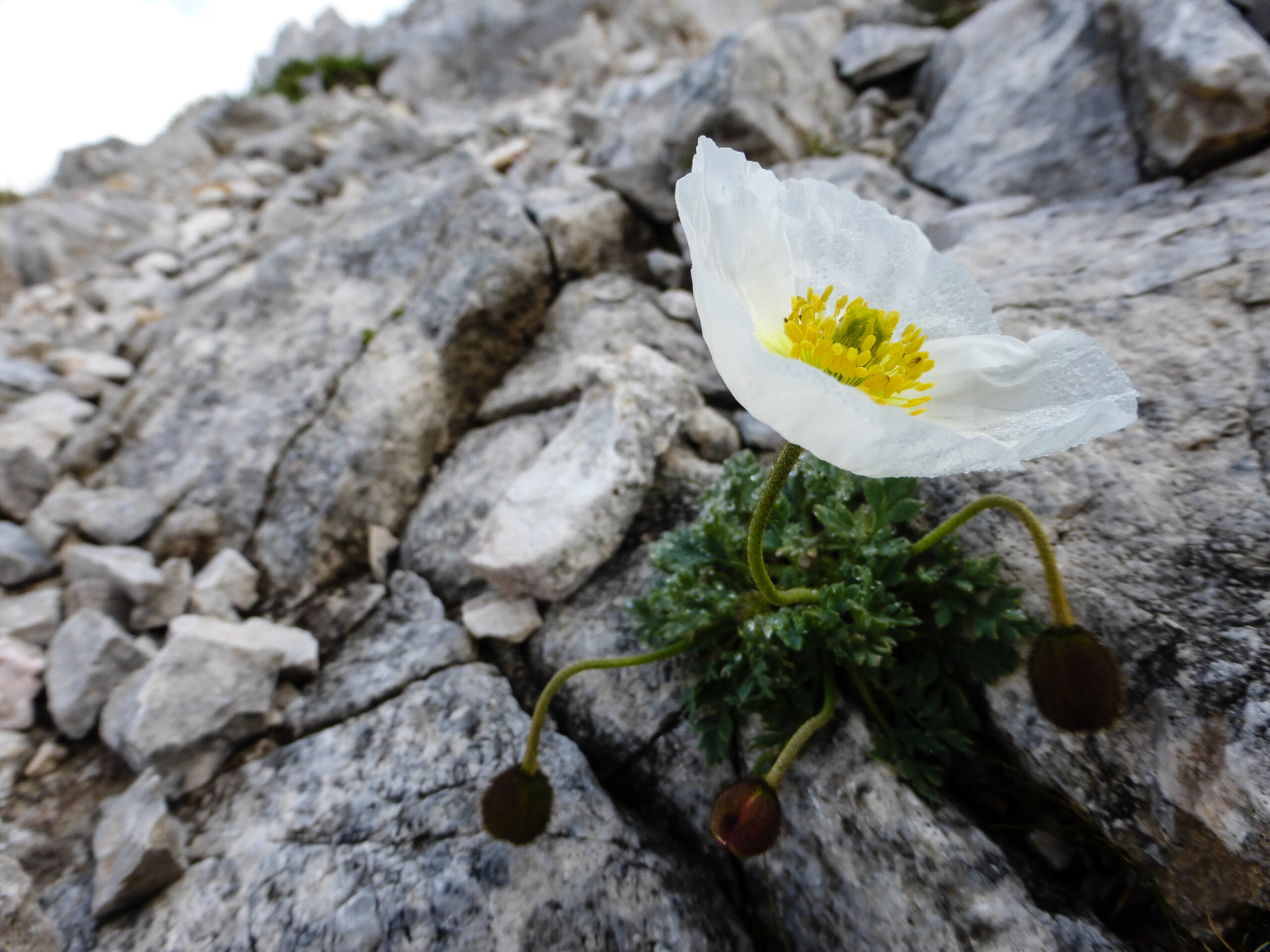
Alpine Poppy
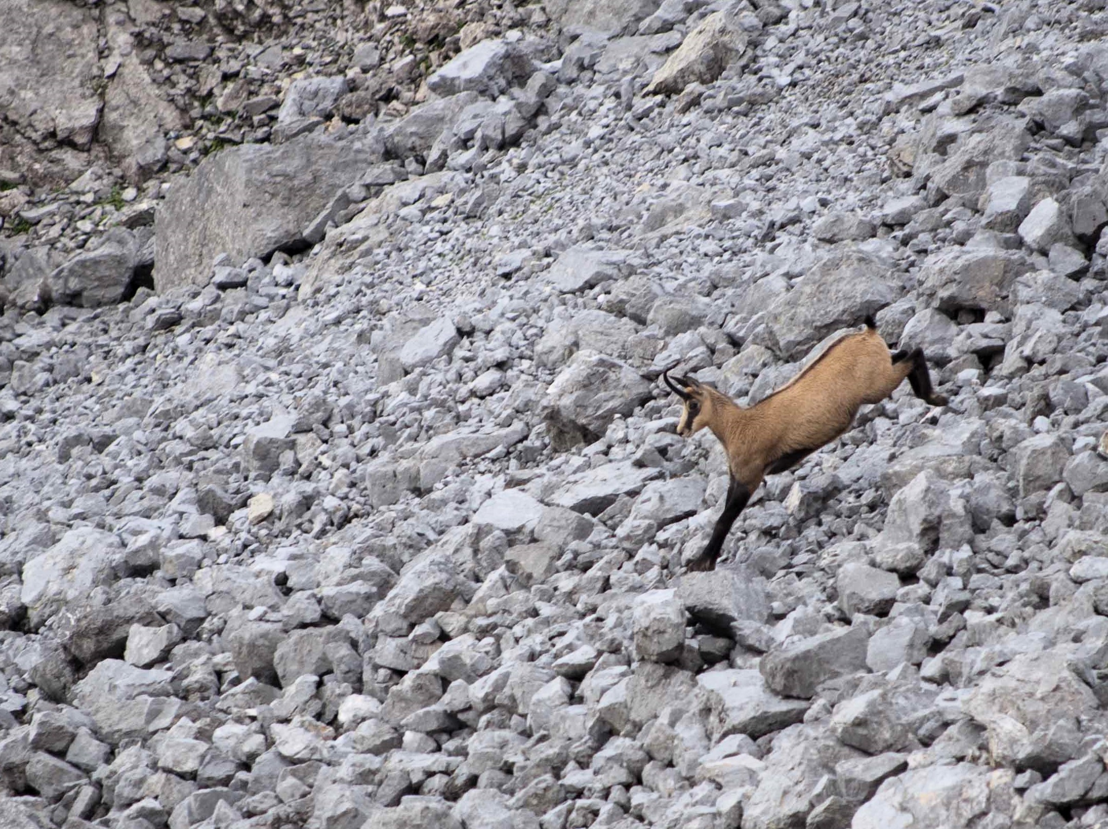
Chamois
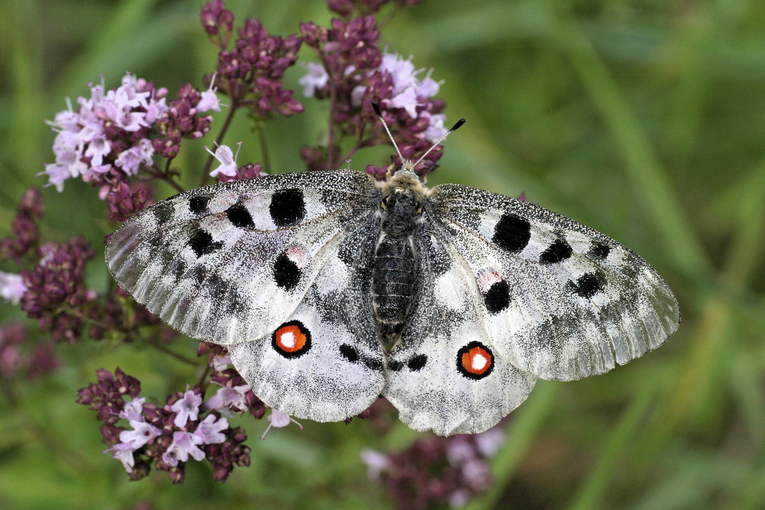
Apollo Butterfly

Dark Vanilla Orchid
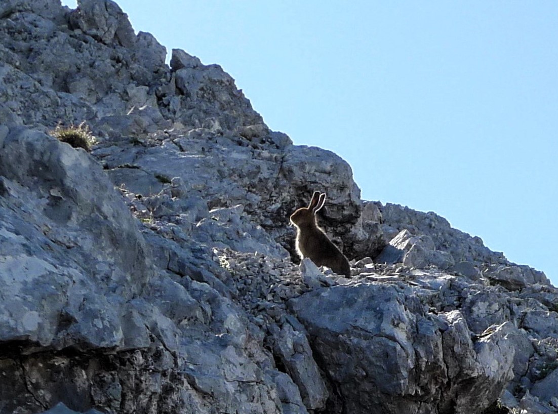
Snow Hare

Bird’s Eye Primrose

Golden Eagle

Alpine Ibex
Karwendel High Alpine Trail
other stages
On a total of six stages, mountain-loving Karwendel enthusiasts, or those who would like to become one, get to know the Karwendel mountains in all their different facets. Mountain pine fields alternate with the gravel cirques typical of the Karwendel. The view wanders between the seemingly barren gray of the Karwendel scree and the densely populated Inn valley.

Stage 1: Reith - Nördlinger Hütte
Before you can start from the Nördlinger Hütte towards the Solsteinhaus, you climb in this first stage from Reith bei Seefeld to the Nördlinger Hütte.

Stage 2: Nördlinger Hütte - Solsteinhaus
Via the origin saddle and the Eppzirler Scharte you follow the trail from the Nördlinger Hütte to the Solsteinhaus.

Stage 3: Solsteinhaus - Pfeishütte
On the third day you have to master the longest stage of the multi-day tour. It goes from the Solsteinhaus over the Seegrube and the Hafelekar to the Pfeishütte.
Stage 5: Bettelwurfhütte - Hallerangerhaus
From the Bettelwurfhütte, with a view of the Halltal valley, the route leads to the Lafatscher Joch and then through the pass to the Hallerangerhaus.
Stage 6: Hallerangerhaus - Scharnitz
After a hike of about five hours from the Hallerangerhaus through the Hinterautal to Scharnitz, you have reached the end point of the Karwendel High Alpine Trail.