Maps and books
Good maps of the area are indispensable for well-considered preparation and orientation on site. In addition, we recommend selected literature with additional information.
Route planning
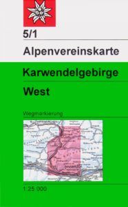
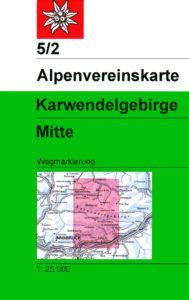
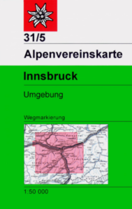
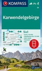
Maps
In order for you to plan your tour at home and find your bearings during the high-altitude tour, we recommend using a detailed map with a scale of 1:25,000 or 1:50,000. The following maps are commercially available:

Route planning
Books
Additional information on the region can be found in the following publications (only available in German):

Interactive digital Karwendel Höhenweg brochure (in german) Download
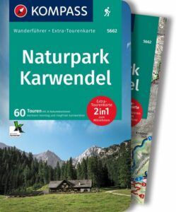
Sonntag, H. & Garnweidner, S. (2022): Kompass Wanderführer Naturpark Karwendel (WF 5662), Kompass-Verlag, 1. Auflage, 268 S.
To order here
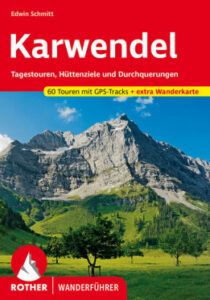
Schmitt, E. (2021): Karwendel: Tagestouren, Hüttenziele und Durchquerungen. 60 Touren mit GPS-Tracks und extra Wanderkarte. Bergverlag Rother (Hrsg.) 13. aktualisierte Aufl.; München, 216 S.

Klier, W. (2011): Alpenvereinsführer – Karwendel (alpin). Bergverlag Rother (Hrsg.). 16. Aufl.; München, 400 S.
Digitale Scan: Download
Route planning
Digital route planning
Those who prefer to plan their tours digitally also have the option of doing so. Below you will find two options.

Alpenverein aktiv
The tour portal of the Austrian Alpine Association enables digital tour planning. You can use the app to store all content directly on your smart phone and subsequently refer to this information offline during the tour.
![]()
KOMPASS digital hiking map
The KOMPASS app gives you access to outdoor maps from Kompass. The maps are constantly updated, there are many different functions as well as offline use. Various subscriptions are available, some of which are subject to a charge.
![]()