Walking direction Scharnitz to Reith
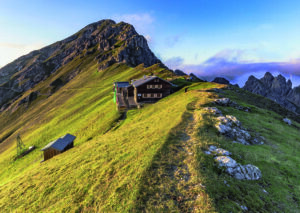
Bettelwurfhütte – Pfeishütte
Stage 4 – Day 3
Bettelwurfhütte – Pfeishütte
In the footsteps of the ‘Wilde Bande’
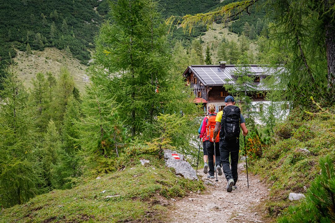
The fourth stage of the Karwendel High Alpine Trail you start from the Bettelwurfhütte, cross the Lafatscher Joch and the Stempeljoch and hike to the “Pfeis”, where the cosy Pfeishütte is located.
- Starting point: Bettelwurfhütte
- Endpoint: Pfeishütte
- Highest point: 2215 m
- Recommended equipment: ankle-high mountain boots, light crampons or spikes, telescopic poles, plenty of water
- Difficulty: difficult / black mountain trail
Difference in altitude uphill
390 m
Distance
8,9 km
Difference in altitude downhill
590 m
Duration
4:30 h
The fourth stage of the Karwendel High Alpine Trail leads from the Bettelwurfhütte over the Stempeljoch to the Pfeishütte. Here you follow a trail that was created by the mountaineering society “Wilde Bande”, founded in 1878.
Route description:
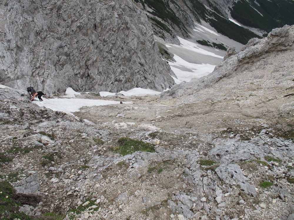
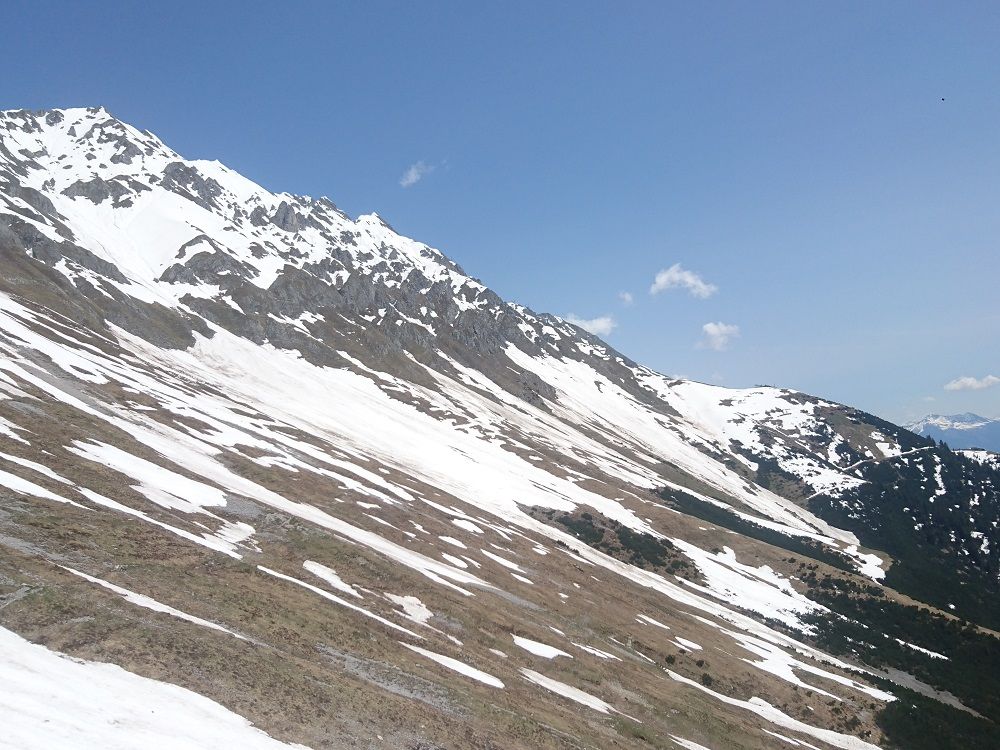
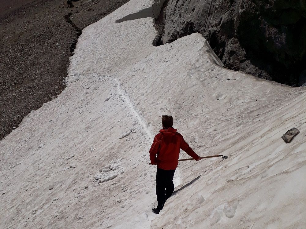
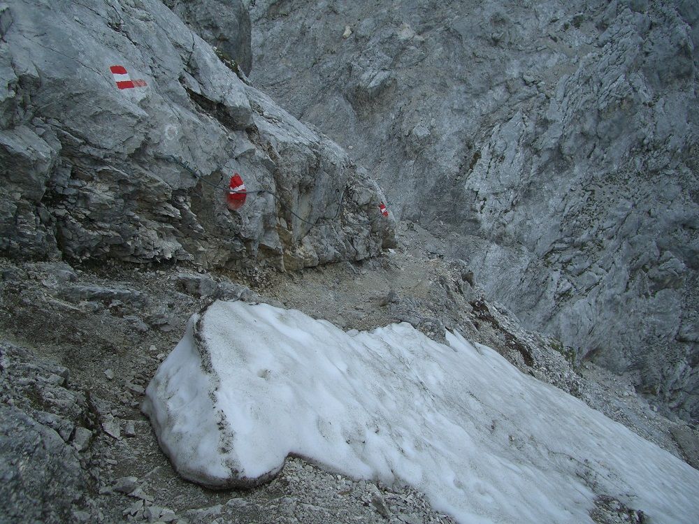
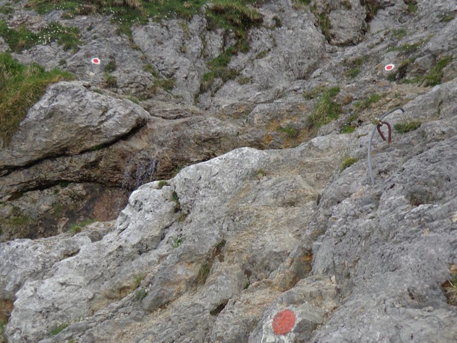
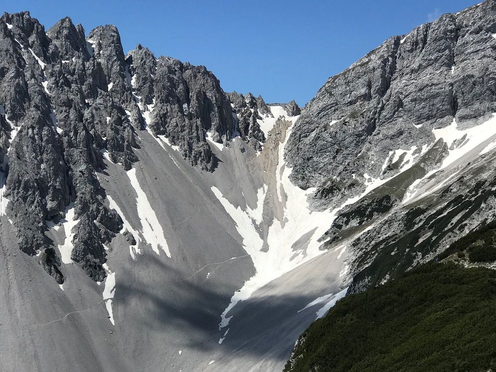
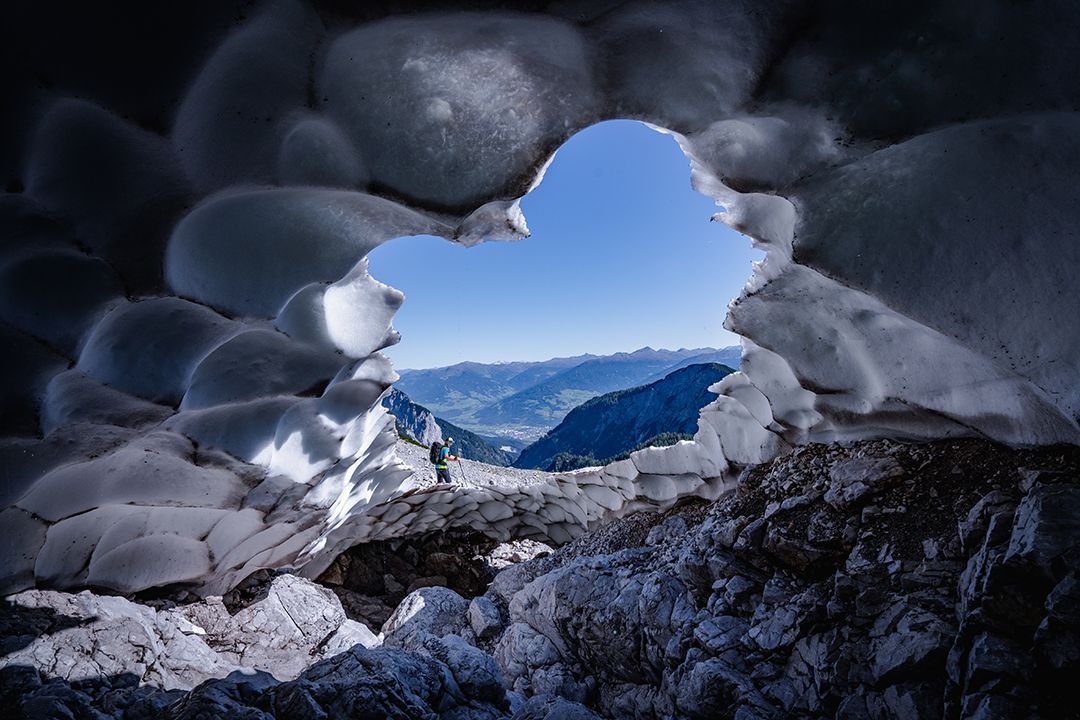
From the Bettelwurfhütte we start on trail 222 (= Via Alpina) back towards the Lafatscher Joch. With panoramic views down into the Halltal valley, we hike through the Kleines Speckkar and Großes Speckkar to the Lafatscher Joch (2081 m). From here, you walk a few metres along the path to the south until the Wilde Bande trail branches off to the right. At first, under the eastern and southern flanks of the Großer Lafatscher and Kleiner Lafatscher, the Roßkopf and the Stempeljoch peaks, the path runs almost parallel to the contour line in a slight up and down direction to the Stempeljoch. Now you reach the transition from the Wilde Bande trail to the Stempeljoch. ATTENTION: In early summer there is a lot of old snow in the Stempeljoch, which is frozen very hard in the early morning (danger of falling: light crampons or spikes and poles offer optimal protection)!
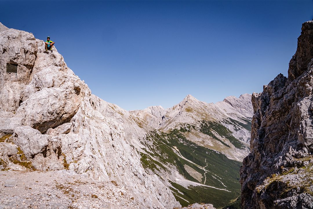
You work your way uphill on the gravel until you reach the Stempeljoch between Pfeiser Spitze and Stempeljochspitze at an altitude of 2215 meters. From here we follow the trail 221 (= Via Alpina) down to the Pfeishütte.
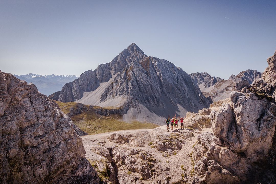
Variant: From the Stempeljoch you can make a detour to the Stempeljochspitze (2529 m). For this, simply follow the signed path from the Stempeljoch in a northerly direction and you will reach this scenic Karwendel peak in about half an hour.
KEY POINTS ON THIS STAGE
To give you a better idea of the difficulty of the route and the demands on the climbers, you can find a picture gallery and a video with images of the key passages. Especially in poor visibility and in the presence of old snow fields it is necessary to maintain the highest concentration here or an ascent may not be possible.

Good to know:
The Wilde Bande Trail was established in 1929 by the Innsbruck-based ‘Wilde Bande’ mountaineers’ group in close cooperation with the salt miners and leads to the Lafatscher Joch. On 20 October each year, the members of the group crossed the Hungerburg and the Arzler Scharte gap before ascending the Stempeljoch as a means of celebrating the anniversary of their founding in 1878.


From hut to hut
Huts on this stage
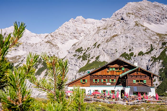
After breakfast at the Bettelwurfhütte, you can reach the Pfeishütte for lunch after around four hours. You can find more information about the huts on the hut profiles.

Look closely!
Flora and fauna on this stage
There are typical types of plants and animals to discover on each of the six stages. The more varied the mountain terrain, the more diverse the creatures that live there.

Alpine Toadflax

Northern Raven
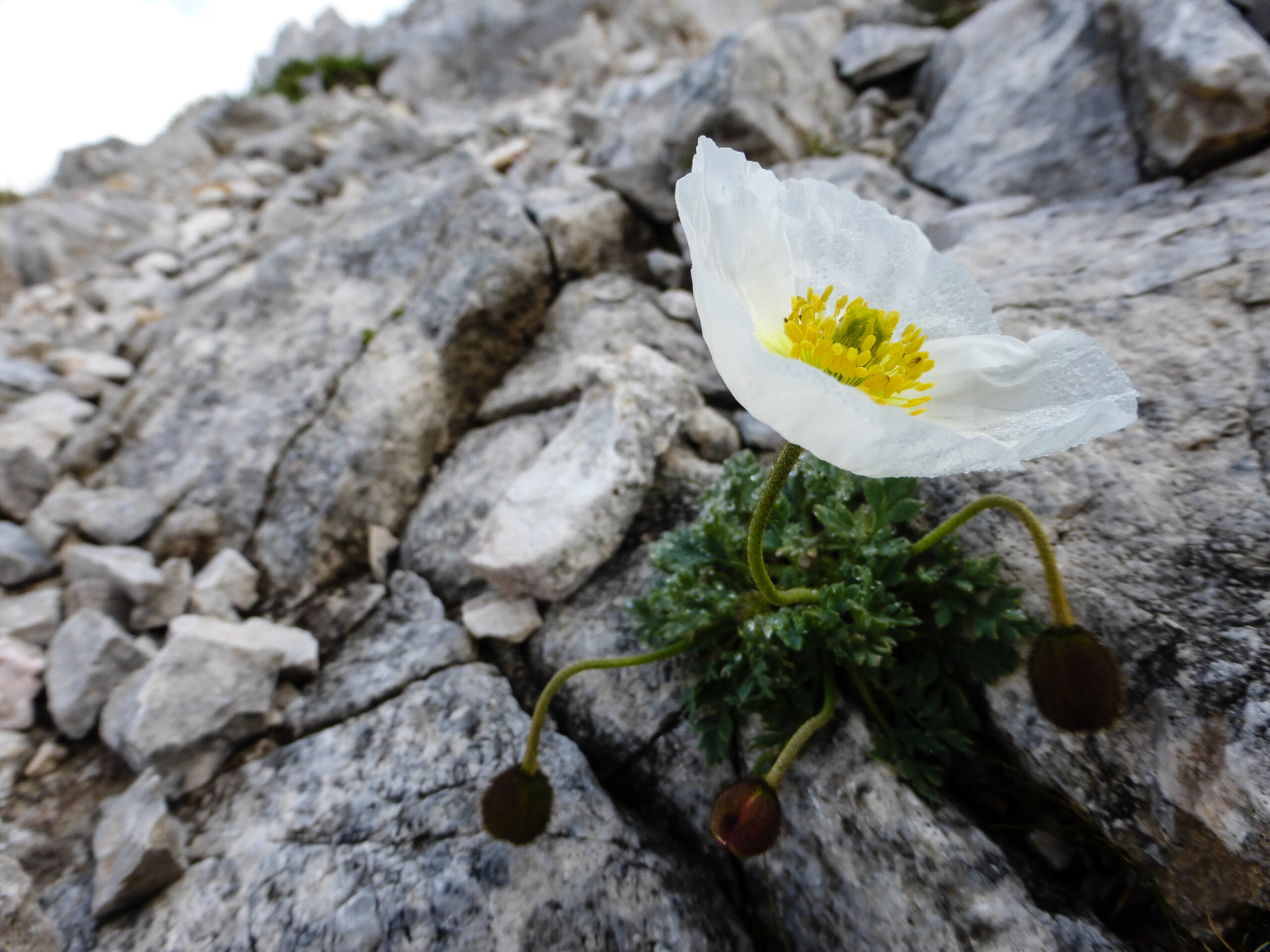
Alpine Poppy
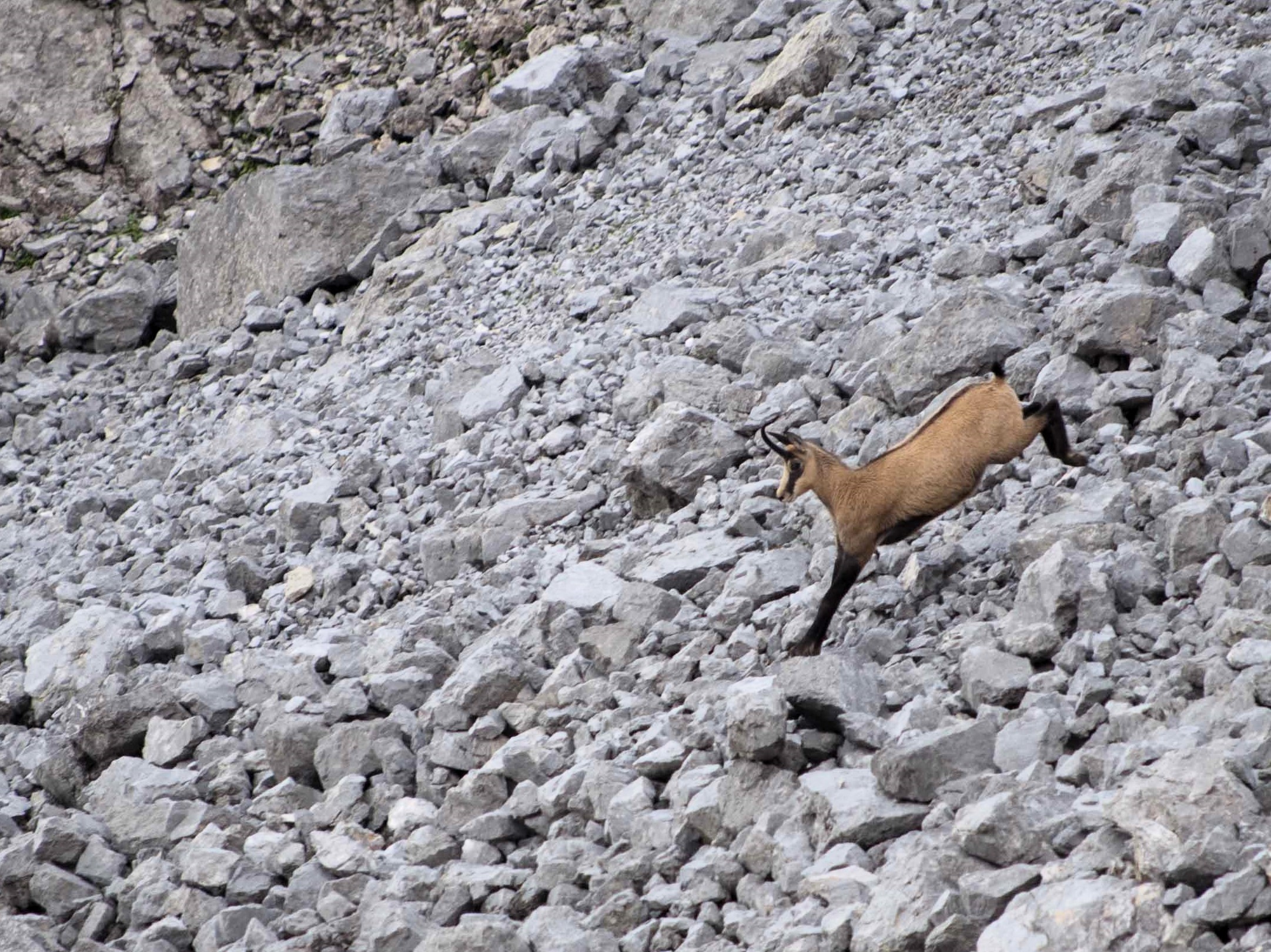
Chamois
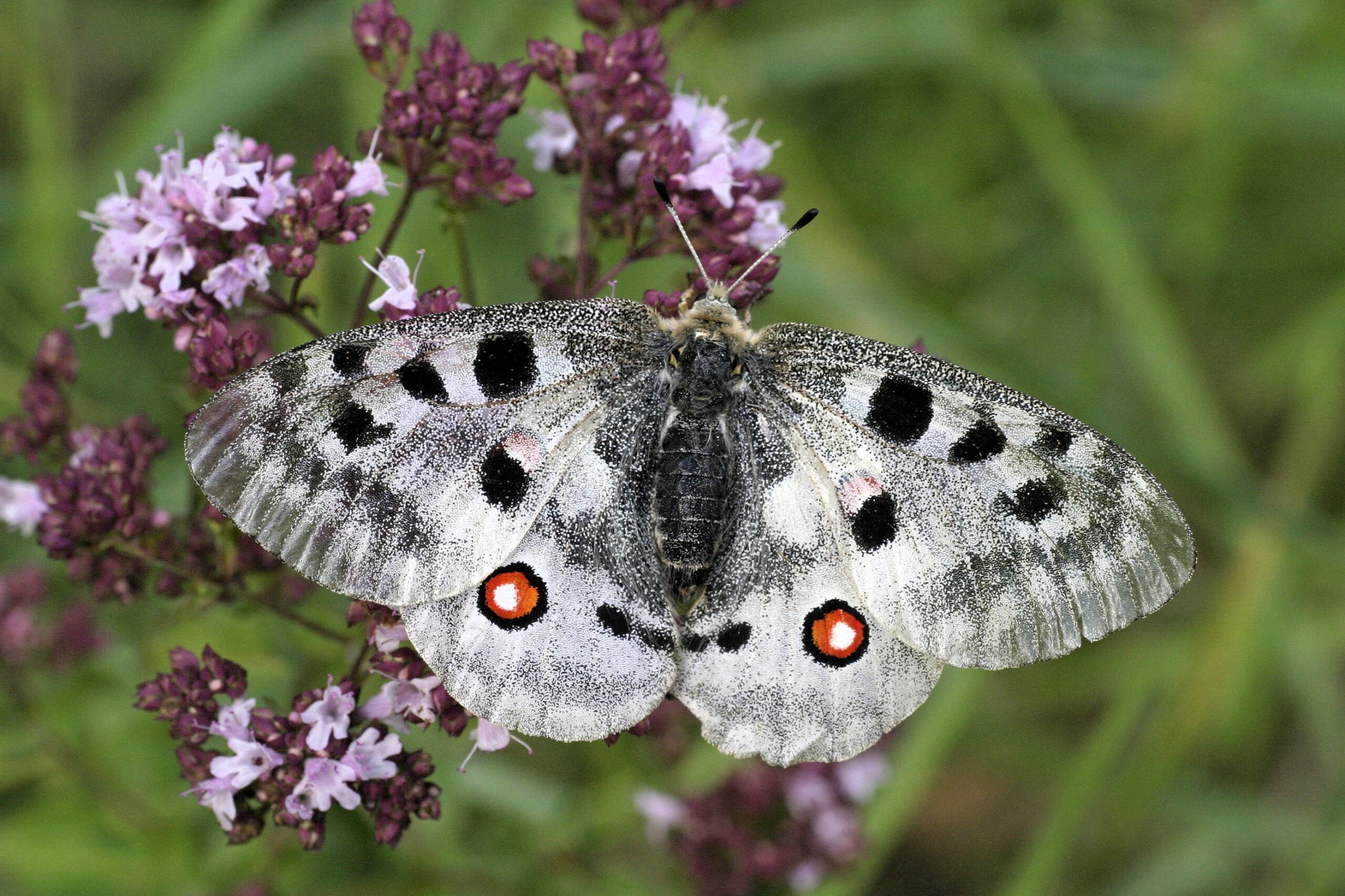
Apollo Butterfly

Dark Vanilla Orchid
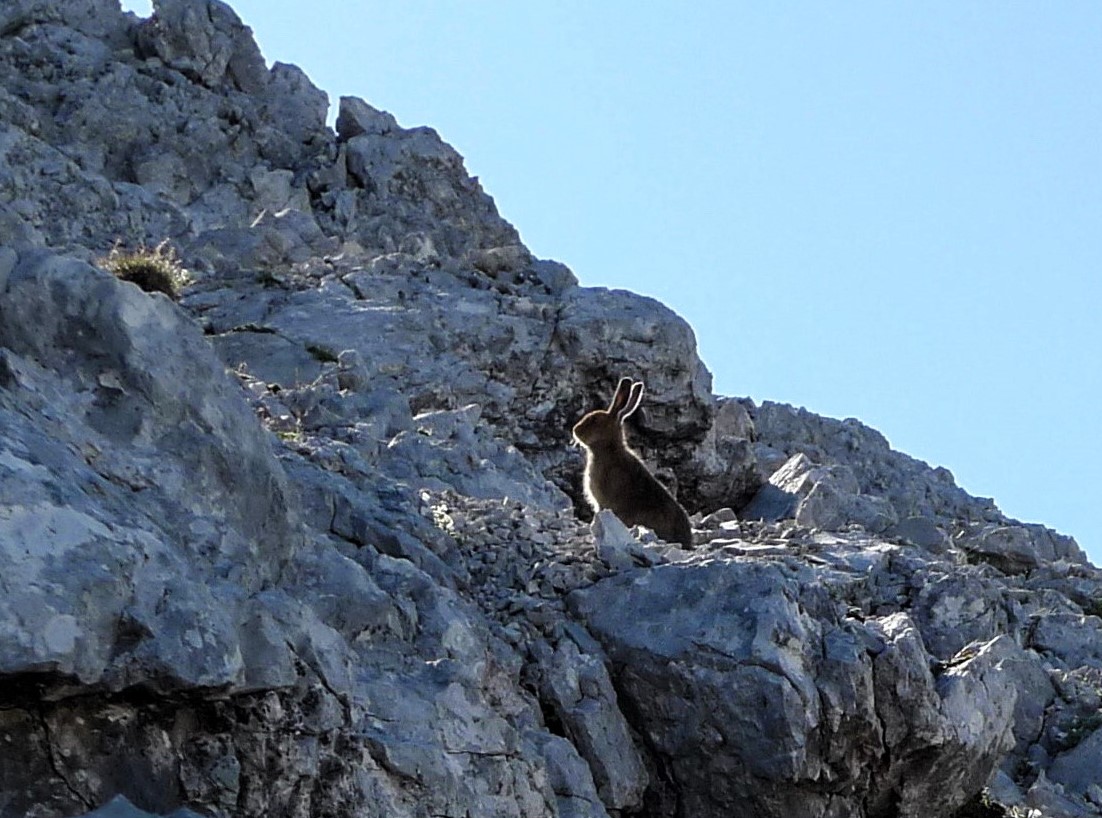
Snow Hare

Bird’s Eye Primrose

Golden Eagle

Alpine Ibex
Karwendel High Trail
Further stages
On a total of six stages, Karwendel mountain enthusiasts – or those who would like to become one – get to know the Karwendel mountains in all their different facets. Mountain pine fields alternate with the typical Karwendel gravel cirques. Your gaze wanders between the barren gray of the Karwendel scree and the densely populated Inn Valley.
Stage 6: Scharnitz - Hallerangerhaus
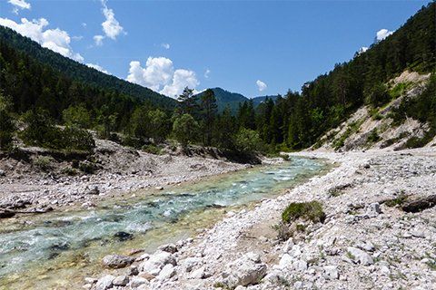
The Karwendel Höhenweg starts in Scharnitz in the Länd, where the gateway to the Karwendel mountains is located. On the first day, the trail leads us through the Hinterautal valley along the turquoise-blue Isar river and finally to the wonderfully situated Hallerangerhaus.
Stage 5: Hallerangerhaus - Bettelwurfhütte
After the first day, when you have a few kilometers in your legs, you can take it easy on the fifth stage. It takes three hours to hike from the Hallerangerhaus to the Bettelwurfhütte.

Stage 3: Pfeishütte - Solsteinhaus
There is a lot of hiking on this day: In around nine hours, you cover a distance of 16.5 kilometers on the way from the Pfeishütte to the Solsteinhaus.

Stage 2: Solsteinhaus - Nördlinger Hütte
From the cozy Solsteinhaus, it takes around four hours to hike to the Nördlinger Hütte. This is in a wonderful location on the south ridge of the Reither Spitze.

Stage 1: Nördlinger Hütte - Reith
On the last stage, we start at the Nördlinger Hütte and reach the train station in Reith bei Seefeld in around three hours. We can travel home comfortably by train.